
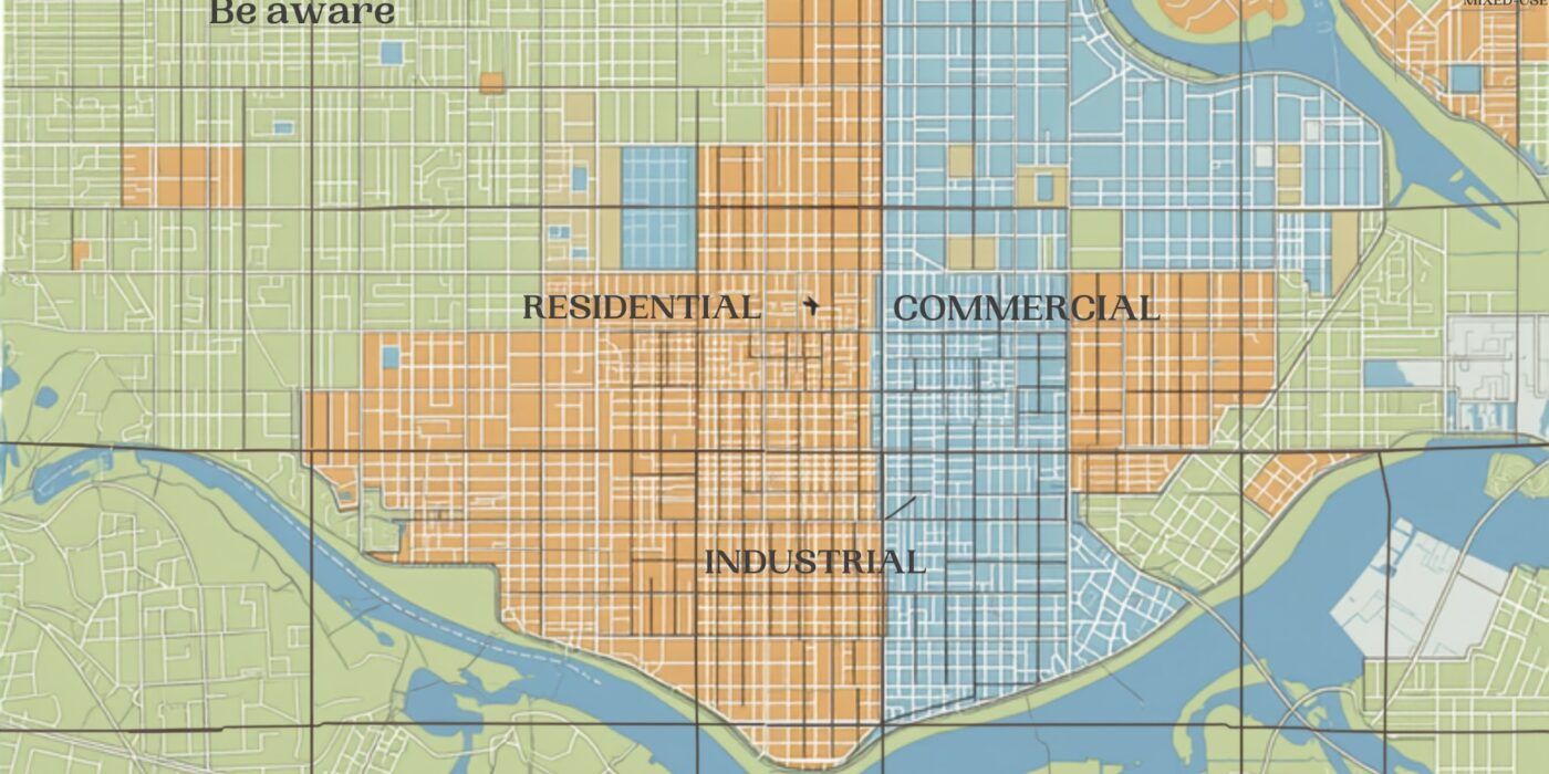
- MRSAC (Maharashtra Remote Sensing Application Centre) is the state’s dedicated agency for satellite remote sensing and GIS data, supporting land-use planning, zoning, and development mapping across departments.
- MRSAC’s data feeds into various planning tools used by municipal corporations, planning authorities, and departments for Development Plan (DP) and Regional Plan zoning classifications.
- For a specific plot’s zoning status, buyers typically go through the relevant municipal corporation’s or planning authority’s published Development Plan / zoning maps, which draw on MRSAC and related survey data, rather than querying MRSAC directly for individual plot queries.
- Confirming a plot’s zoning classification (residential, commercial, industrial, no-development zone, etc.) before purchase is essential — it directly determines what can legally be built or done on the land.
- Zoning classification is independent of, and should not be confused with, NA (non-agricultural) conversion status — a plot can be NA-converted but still restricted by zoning to a particular use.
Reading time: 7 min | Last updated: July 2026 | By Girish Chhalwani, Founder & CEO, THE EDGE Developments
MRSAC (Maharashtra Remote Sensing Application Centre) is the state agency that generates and maintains satellite and GIS-based spatial data used across Maharashtra’s planning departments, and its data underlies the zoning and Development Plan maps that ultimately determine what a specific plot of land can legally be used for. While individual buyers don’t typically query MRSAC directly, understanding how zoning classification works — and where to check it for a specific plot — is essential due diligence, since zoning restricts land use independently of ownership or NA conversion status.
What Is MRSAC?
MRSAC is Maharashtra’s state remote sensing and GIS agency, providing satellite imagery analysis, land-use mapping, and spatial data support to government departments involved in planning, agriculture, forestry, water resources, and urban development. Its data forms a technical backbone for various planning exercises, including inputs into Development Plans prepared by municipal corporations and Regional Plans prepared by planning authorities.
How Zoning Actually Gets Determined and Checked
For a specific plot, the applicable zoning classification is published through the relevant planning authority’s Development Plan (DP) for urban areas, or Regional Plan for broader regional areas — these are the documents a buyer should reference for a specific plot’s zoning status:
| Area Type | Where Zoning Is Published |
|---|---|
| Municipal corporation areas (Mumbai, Pune, etc.) | Development Plan (DP) maps published by the respective municipal corporation |
| Broader regional/peri-urban areas | Regional Plan published by the relevant regional planning authority (e.g., MMRDA for MMR) |
| Special planning areas / notified zones | Plans published by the specific special planning authority (e.g., CIDCO, MIDC where applicable) |
Common Zoning Categories to Understand
- Residential Zone — permits housing development, subject to density and FSI norms.
- Commercial Zone — permits commercial/retail development.
- Industrial Zone — designated for industrial use, generally restricted from residential development.
- No-Development Zone (NDZ) — construction is heavily restricted or prohibited, often covering ecologically sensitive, agricultural-preservation, or hazard-prone areas.
- Reserved Land — earmarked for public purposes (roads, gardens, schools, amenities) under the Development Plan; private construction is typically not permitted regardless of ownership.
Why Zoning Verification Matters — Separate from NA Conversion
A common and costly misunderstanding is treating NA (non-agricultural) conversion and zoning classification as the same thing. They are not: NA conversion changes a land’s revenue classification from agricultural to non-agricultural, while zoning (under the Development Plan or Regional Plan) determines what kind of non-agricultural use is actually permitted on that land. A plot can be NA-converted and still be zoned in a way that restricts it from your intended use — always check both independently.
“I’ve seen buyers assume that because a plot has NA status, they can build whatever they want on it. Zoning is the separate, often overlooked check — a plot can be perfectly NA-converted and still sit inside a reserved or restricted zone under the Development Plan. Always pull the zoning map for the specific plot, not just the NA order.” — Girish Chhalwani, Founder & CEO, THE EDGE Developments
How to Check a Plot’s Zoning Classification
- Identify the relevant planning authority for the plot’s location (municipal corporation, regional planning authority, or special planning authority).
- Access that authority’s published Development Plan or Regional Plan maps — many are now available as GIS-based online viewers, though availability and detail vary by authority.
- Locate the specific plot using its CTS/survey number or address to identify its zoning classification and any applicable reservations.
- Where the online map is unclear or the plot appears reserved, confirm directly with the planning authority’s town planning department before proceeding with a purchase.
FAQ
What is MRSAC?
MRSAC (Maharashtra Remote Sensing Application Centre) is the state’s satellite remote sensing and GIS agency, supporting land-use and planning data across government departments.
Can I check my plot’s zoning directly through MRSAC?
Individual plot zoning queries are typically handled through the relevant planning authority’s Development Plan or Regional Plan maps, which draw on MRSAC and related survey data, rather than direct queries to MRSAC itself.
Is zoning the same as NA (non-agricultural) conversion?
No — NA conversion changes a land’s revenue classification, while zoning (under the Development Plan) determines what specific use is permitted on that land. Both should be checked independently.
What is a No-Development Zone (NDZ)?
It’s a zoning category where construction is heavily restricted or prohibited, often applied to ecologically sensitive, agricultural-preservation, or hazard-prone areas.
Can reserved land under a Development Plan be privately built on?
Generally no — land reserved for public purposes like roads, gardens, or amenities is typically restricted from private construction regardless of ownership.
Where do I find the Development Plan for a specific area?
Through the relevant municipal corporation’s or regional planning authority’s official published Development Plan or Regional Plan maps.
Why should I check zoning before buying land, even if it’s already NA-converted?
Because NA conversion alone doesn’t guarantee your intended use is permitted — zoning classification independently restricts what type of development is allowed on the land.
Citations & Sources
- Maharashtra Remote Sensing Application Centre (MRSAC)
- Maharashtra Regional and Town Planning Act, 1966
Related Reading
- Maharashtra Land Records Portals: The Complete Directory of Government Websites
- NA Conversion Online via Aaple Sarkar: Applying for Non-Agricultural Land Use in Maharashtra
- Bhunaksha Maharashtra: Verifying Land Boundaries & Survey Maps via Government GIS
- CTS Number Explained: How City Survey Numbers Identify Urban Land in Maharashtra
- First-Time Land Buyer’s Checklist: 10 Due Diligence Steps
- Case Study: Infrastructure-Triggered Land Appreciation in the Karjat Corridor
- Contact THE EDGE Developments
Confirm Zoning Before You Commit — Not After
THE EDGE Developments checks zoning classification, NA status, and reservation details on every plot we recommend, so there are no surprises after purchase.
connect@theedgedevelopments.com | Phone: +91-9664662938