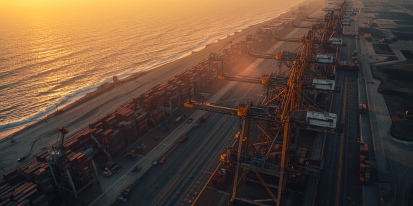
Aerial view of a large container port at sunrise with rows of cargo cranes and stacked shipping containers along a coastline
CategoriesMumbai 3.0

Vadhavan Port & North MMR Land Values: Investment Analysis 2026–2034

Reading time: 14 minutes | Last updated: July 2026 | Author: Girish Chhalwani, Founder & CEO, THE EDGE Developments

TL;DR — Key Takeaways

  • Vadhavan Port, near Dahanu in Palghar district, is India’s largest greenfield deep-water port project — approved at a total build cost of ₹76,220 crore, with the first phase (~₹45,000 crore, including ₹25,000 crore for land reclamation) already under construction since the groundbreaking by PM Narendra Modi on 30 August 2024.
  • It will be built and owned through a joint venture — Jawaharlal Nehru Port Authority (74%) and Maharashtra Maritime Board (26%) — with a designed capacity of 23.2 million TEUs and 298 MMT of cargo a year, making it larger than JNPT at full build-out.
  • Four of nine container terminals are targeted for commissioning by 2029; full completion is expected by 2034.
  • Connectivity is being built in parallel: a ₹2,881 crore, ~25 km road link to NH48 via Tarapur–Boisar/Chinchani–Vangaon/Dahanu (Bharatmala Pariyojana), a 12 km rail spur to the Western Dedicated Freight Corridor at New Palghar, and a ₹2,528.90 crore, 104.89 km freight expressway connecting the port directly to the Samruddhi Mahamarg at Bharvir (Nashik district).
  • This converts Dahanu–Boisar–Palghar–Vangaon from a low-density coastal belt into a logistics-and-industrial growth corridor — the same infrastructure-first sequencing that repriced Karjat, Uran, and Panvel over the last decade.
  • Land in Boisar currently trades around ₹1,500–4,200/sq.ft; interior Palghar/Vangaon parcels are available from roughly ₹500/sq.ft — a wide entry-price band that will compress as construction milestones (terminal commissioning, expressway opening) land between 2026 and 2029.

Executive Summary

Does Vadhavan Port change the investment case for land in Palghar district? Yes — Vadhavan Port is a ₹76,220 crore deep-water mega-port under construction near Dahanu, designed to handle 23.2 million TEUs a year, and it is being built alongside a dedicated freight rail spur, a new NH48 link road, and a 105 km expressway to the Samruddhi Mahamarg. Together, these projects create the same “infrastructure precedes density” pattern that has already repriced Karjat, Panvel, and Uran in the Mumbai Metropolitan Region (MMR) — except this time the growth corridor runs north, through Boisar, Dahanu, Vangaon, and Palghar town, not south-east.

For THE EDGE’s readership — land investors, second-home buyers, and developers tracking Mumbai 3.0’s outward expansion — Vadhavan Port is the single largest infrastructure catalyst in the northern MMR that does not yet have a dedicated body of investment research. This article maps the project’s engineering scope, its connectivity build-out, its realistic timeline, and — most importantly — which micro-markets around it are positioned to benefit, and on what schedule.

Introduction: Why a Port 120 KM from Mumbai Matters to MMR Land Investors

Every prior wave of Mumbai’s outward growth has followed the same sequence: a transport or logistics anchor gets sanctioned, connectivity infrastructure follows within a few years, and land values in the surrounding villages re-rate long before the anchor project itself is operational. The Navi Mumbai International Airport (NMIA) did this for Panvel, Uran, and Karjat. The Virar–Alibaug Multimodal Corridor is doing it for Karjat and Khopoli. Vadhavan Port is now doing it for the Palghar coastal belt — a region that, until the environment and defence ministries cleared the project in early 2025, had almost no institutional land-investment coverage.

Vadhavan is not a small port expansion. At a designed capacity of 23.2 million TEUs, it would rank among the ten largest container ports in the world once fully built — larger than the existing Jawaharlal Nehru Port (JNPT) it is designed to relieve. Unlike JNPT, which sits inside the increasingly congested Navi Mumbai–Uran industrial belt, Vadhavan is being built on greenfield coastal land specifically because it offers natural deep draft (allowing the largest container vessels to dock without dredging) and space for large-scale reclamation.

What Is Vadhavan Port? Key Facts at a Glance

Attribute Detail
Location Vadhavan village, Dahanu taluka, Palghar district, Maharashtra
Project type Greenfield all-weather deep-water container port
Total build cost ₹76,220 crore (Phase 1 estimated at ~₹45,000 crore, including ₹25,000 crore for land reclamation)
Ownership structure Jawaharlal Nehru Port Authority (JNPA) — 74%; Maharashtra Maritime Board — 26% (public-private partnership)
Designed capacity 23.2 million TEUs/year; 298 MMT cumulative cargo/year
Groundbreaking 30 August 2024 (Prime Minister Narendra Modi)
Phase 1 terminals 4 of 9 container terminals targeted by 2029
Full completion 2034 (remaining 5 terminals)
Primary road link ~25 km, ₹2,881 crore link to NH48 via Tarapur–Boisar / Chinchani–Vangaon / Dahanu (Bharatmala Pariyojana)
Rail link 12 km spur connecting to the Western Dedicated Freight Corridor at the proposed New Palghar station
Expressway link 104.89 km, ₹2,528.90 crore high-speed freight corridor to the Samruddhi Mahamarg at Bharvir, Nashik district (targeted within 3 years of sanction)

Sources: JNPA official project page; Ministry of Ports, Shipping and Waterways approvals; NHAI Bharatmala sanctions; Maharashtra government expressway approval, reported via Maritime Gateway and Free Press Journal.

Vadhavan vs India’s Other Major Container Ports

Port State Status (2026) Approx. annual capacity Water depth
Jawaharlal Nehru Port (JNPT) Maharashtra Operational since 1989, near capacity ~10 million TEUs Requires dredging; draft-limited for largest vessels
Mundra Port Gujarat Operational, India’s largest private port ~10+ million TEUs (all cargo types) Natural deep draft
Vadhavan Port Maharashtra Under construction (Phase 1) 23.2 million TEUs (designed, full build-out) Natural deep draft — no dredging required

Mumbai 3.0’s Northern Extension: Positioning Palghar in the MMR Growth Story

THE EDGE’s Mumbai 3.0 framework has tracked the Mumbai Metropolitan Region’s outward expansion primarily along its south-eastern axis — Karjat, Khopoli, Panvel, and Uran — driven by the Navi Mumbai International Airport and the Virar–Alibaug Multimodal Corridor. Vadhavan Port introduces a second, largely independent axis: the northern coastal corridor through Vasai-Virar, Palghar, Boisar, and Dahanu. Industry commentary has already begun referring to this as “Mumbai 4.0” — a separate growth wave layered on top of Mumbai 3.0, driven by port logistics and freight economics rather than aviation and residential decongestion.

Who Should Consider This Corridor

Investor profile Fit for Vadhavan corridor Notes
Long-horizon land investor (7–10+ years) Strong fit Aligns with the project’s own 2029/2034 milestone structure
Industrial/warehousing developer Strong fit, near-term Tarapur MIDC base plus new freight links create early demand even before port commissioning
Short-horizon flipper (1–3 years) Weak fit Re-rating is likely to track construction milestones over several years, not months
NRI investor seeking a second home Weak-to-moderate fit This is fundamentally an industrial/logistics corridor, not a lifestyle or weekend-home destination like Karjat or Alibaug
First-time land buyer without local legal support Proceed with caution Coastal Konkan title verification (CRZ, fragmented holdings) requires stronger legal diligence than inland MMR corridors

Step-by-Step Due Diligence Checklist Before Buying Near Vadhavan Port

  1. Pull the 7/12 extract (Satbara Utara) for the specific survey number from the Mahabhulekh portal to confirm current ownership, area, and land-use classification.
  2. Confirm NA (Non-Agricultural) status or convertibility — agricultural land cannot be legally built on or easily financed until converted.
  3. Obtain CRZ classification from the Maharashtra Coastal Zone Management Authority for the exact plot — this determines what, if anything, can be built.
  4. Cross-check the plot against NHAI, MMRDA, and Palghar collector project maps to rule out overlap with the port, expressway, or rail acquisition boundaries.
  5. Request a 30-year title search through a local advocate to rule out inheritance disputes, which are common in fragmented Konkan coastal holdings.
  6. Verify encumbrances via the Index II record and CERSAI mortgage database.
  7. Physically inspect the plot and its road access — brochure “port-adjacent” claims should always be checked against the actual sanctioned road alignment, not assumed.

Micro-Market Impact Map: Where the Opportunity Sits

Micro-market Distance from port site Current land rate (approx.) Primary driver Investment horizon
Boisar ~15–20 km ₹1,500–4,200/sq.ft Existing MIDC industrial base + direct expressway link Near-term (2026–2029)
Dahanu / Vadhavan periphery 0–10 km Wide range; port-adjacent land largely under acquisition/CRZ restriction Direct port employment and ancillary logistics Medium-term, acquisition-sensitive
Vangaon ~10–15 km From ~₹500/sq.ft (interior parcels) Road alignment (Chinchani–Vangaon link) + rail spur Early-stage, higher risk/reward
Palghar town ~20–25 km Mid-range, town-core premium DFC rail station, district administrative hub Medium-term
Tarapur (MIDC) ~15 km Established industrial rates Existing chemical/industrial cluster + new freight link Near-term, industrial-only

Expert Opinion

“Every large Indian port has followed the same repricing curve — the land 15 to 25 kilometres out moves first, on the connectivity build-out, well before the port itself is operational. Vadhavan is at the stage Uran was in 2016: the sanction is real, the connectivity contracts are being awarded, and the land is still priced for a coastal fishing belt, not a logistics corridor. That gap is the opportunity — and it is also exactly where the risks of unclear title and premature ‘confirmed port-adjacent’ claims from local brokers are highest.” — Girish Chhalwani, Founder & CEO, THE EDGE Developments

Pros and Cons of Investing Near Vadhavan Port Today

Pros Cons / Risks
Confirmed central government approval and active construction (not a proposal stage) Full port completion is 2034 — this is a long-horizon thesis, not a 2–3 year flip
Three independent connectivity projects (road, rail, expressway) create multiple re-rating triggers, not just one CRZ (Coastal Regulation Zone) restrictions apply to large stretches of port-adjacent land, limiting buildability
Entry prices in Vangaon and interior Palghar remain low relative to comparable pre-infrastructure MMR corridors Land acquisition for the port and expressway has faced local opposition — creates local sentiment and delay risk
Existing Tarapur MIDC industrial base provides an established economic anchor Title verification is materially harder in coastal Konkan belts — always confirm NA status and CRZ classification before purchase

Risk Factors Investors Must Verify Before Buying

  • CRZ classification: Coastal Regulation Zone rules restrict construction close to the shoreline. Always obtain the CRZ classification of a specific plot before assuming buildability.
  • NA (Non-Agricultural) conversion status: As with any Maharashtra land purchase, agricultural land cannot be legally built on, sold to non-farmers in most cases, or bank-financed until converted to NA status.
  • Acquisition overlap: Confirm the specific plot is not inside a notified land-acquisition boundary for the port, expressway, or rail corridor.
  • Broker “port-adjacent” claims: Verify actual distance, road alignment, and CRZ status independently rather than relying on brochure maps.
  • Execution risk: Large infrastructure projects in India frequently see multi-year slippage. Treat the 2029/2034 dates as directional, not contractual.

Actionable Insights for Land Investors

  1. Prioritise the connectivity corridor over the port boundary. Land along the confirmed road alignment carries lower acquisition-overlap risk than land immediately adjacent to the port.
  2. Verify CRZ and NA status before any commitment — this single step eliminates the majority of coastal-belt land disputes.
  3. Treat 2026–2029 as the accumulation window, based on the JNPT-Uran precedent, where connectivity milestones drove the sharpest re-rating.
  4. Favour NA-converted or conversion-ready plots with clean title over speculative “future port-adjacent” agricultural parcels.
  5. Track the Samruddhi Mahamarg freight-link progress as a leading indicator of Vadhavan’s expanding industrial catchment.

Conclusion

Vadhavan Port is the largest and least-covered infrastructure catalyst currently reshaping Maharashtra’s coastal land map. It will not transform Palghar overnight — full commissioning stretches to 2034 — but the connectivity infrastructure being built in parallel is a near-term, verifiable, and already-funded trigger. For investors applying the same infrastructure-first discipline that has worked in Karjat, Uran, and Panvel, the Boisar–Vangaon–Palghar corridor deserves the same rigorous, document-first due diligence — and belongs on the watchlist for Mumbai 3.0’s next growth wave.

Frequently Asked Questions

What is Vadhavan Port and where is it located?

Vadhavan Port is a greenfield deep-water container port being built near Vadhavan village in Dahanu taluka, Palghar district, Maharashtra, roughly 120 km north of Mumbai.

How much does the Vadhavan Port project cost?

The full build-out is estimated at ₹76,220 crore, with the initial phase (including ₹25,000 crore for land reclamation) estimated around ₹45,000 crore.

When will Vadhavan Port be completed?

Four of nine planned container terminals are targeted for commissioning by 2029, with full completion of all nine terminals expected by 2034.

Which areas will benefit most from Vadhavan Port?

Boisar, Dahanu, Vangaon, Palghar town, and the existing Tarapur MIDC belt are the primary micro-markets positioned to benefit, largely along the confirmed road and rail alignments.

What are current land prices near Vadhavan Port?

Boisar land trades around ₹1,500–4,200/sq.ft; more interior parcels in areas like Vangaon are available from roughly ₹500/sq.ft, though prices vary widely by proximity to sanctioned infrastructure.

Should I buy land right next to the port, or further inland?

The more replicable, lower-risk opportunity — based on how JNPT and Uran actually repriced — lies 10–25 km out along the confirmed connectivity corridor, not directly at the port boundary.

What is the realistic investment horizon for this corridor?

Given the 2029/2034 milestone dates, this is a 7–10 year structural thesis, with the 2026–2029 window most relevant for entry based on connectivity-linked re-rating.

Citations & Sources

  1. Jawaharlal Nehru Port Authority — official Vadhavan Port project page (jnport.gov.in)
  2. The Week — “Unpacking Vadhavan port: How India’s new mega port is being built and financed” (September 2025)
  3. Upstox — “Centre approves ₹76,200 crore Vadhavan Port Project in Maharashtra”
  4. Maritime Gateway — “Last mile connectivity to Vadhavan Port”
  5. Free Press Journal — “NHAI Approves ₹2,360 Crore Vadhavan Port Expressway In Palghar”; “Mumbai 4.0 Takes Shape In Palghar”
  6. 99acres — Boisar, Palghar property rate trends 2026

Explore the Vadhavan Corridor with Local Expertise

THE EDGE Developments tracks infrastructure-led land opportunities across the Mumbai Metropolitan Region, including the emerging Palghar coastal corridor.

Contact: connect@theedgedevelopments.com | +91-9664662938 | edgere.in


Title slide over a dusk Mumbai cityscape: 'Land Price Forecast Near Mumbai 2026–2031' (THE EDGE) with 'DEVELOPMENTS' text subtly visible.
CategoriesMumbai 3.0

Land Price Forecast Near Mumbai 2026–2031: What Infrastructure Data Predicts

THE EDGE — Direct Answer

Land prices near Mumbai are forecast to appreciate 14–22% CAGR through 2031, driven by five funded infrastructure projects: the Navi Mumbai International Airport (now operational), the Virar–Alibaug Multimodal Corridor (VAMC, 60% built, due 2028–2030), the Second Mumbai–Pune Expressway (45% built, due 2027–2029), the Thane–Diva–Panvel rail corridor, and Metro Line 12. Every major MMR infrastructure opening in the last 30 years — Bandra–Worli Sea Link, Eastern Freeway, JNPT expansion — triggered a 25–65% price step-change in adjacent land within 24–36 months of completion. Karjat leads the forecast at 18–22% CAGR (three simultaneous catalysts), followed by Khopoli at 16–20%, Panvel–Uran at 14–18%, and Alibaug at 12–16%. Investors who enter before a project completes capture the full appreciation curve — mid-2026 is still pre-completion for the VAMC and Second Expressway.

TL;DR — KEY TAKEAWAYS

  • Land near Mumbai is forecast to appreciate 14–22% CAGR through 2031 across the main infrastructure corridors.
  • Karjat leads the base case (18–22% CAGR) with three simultaneous catalysts — VAMC, Second Expressway, and NMIA.
  • Every past MMR infrastructure opening triggered a 25–65% price step-change within 24–36 months.
  • Main risks: infrastructure delays, economic slowdown, and interest-rate spikes.

Land prices near Mumbai are forecast to appreciate 14–22% CAGR through 2031 across the primary infrastructure corridors — driven by the VAMC, the Second Mumbai–Pune Expressway, NMIA maturation, and continued NRI demand. The forecasts are not speculative — they are derived from infrastructure delivery timelines, historical price correlation with MMR project completions, and current market fundamentals.

Reading time: 13 minutes | Last updated: July 2026 | Author: Girish Chhalwani, Founder & CEO, THE EDGE Developments

Every major infrastructure completion event in MMR history has been followed by a 25–50% land price step-change in the immediately adjacent corridor within 24 months of project opening. The Bandra–Worli Sea Link appreciated Worli and Lower Parel real estate 60–80% in its first 3 years post-opening. The Eastern Freeway did the same for Chembur and Mankhurd. NMIA is now live. VAMC is next. — Source: ANAROCK Historical Infrastructure Impact Analysis, NIC Research 2025

What is Mumbai 3.0 and why does it matter?

Mumbai 3.0 is the third spatial expansion of the city — from the island core (1.0) to Navi Mumbai (2.0) and now into Karjat, Alibaug, Pen, Uran and Khopoli (3.0). It is being enabled entirely by infrastructure, which makes the expansion — and the land appreciation that follows it — largely inevitable.

  • Mumbai 1.0 (Pre-2000): Island city + immediate suburbs (Dadar, Andheri, Thane)
  • Mumbai 2.0 (2000–2020): Navi Mumbai, Kharghar, Panvel, Dombivali, Badlapur
  • Mumbai 3.0 (2020–2035): Karjat, Alibaug, Pen, Uran, Khopoli, Virar North, Vasai–Virar expansion

Mumbai 3.0 is being enabled entirely by infrastructure. Without the VAMC, the Second Expressway, and NMIA, this expansion would not be happening. With them, it is inevitable.

What are the 5 infrastructure triggers and their timelines?

Five funded projects drive the forecast — NMIA (operational), the VAMC (60% built), the Second Expressway (45%), the Thane–Diva–Panvel rail corridor, and Metro Line 12 — each with a mapped impact zone and expected price step-change.

Project Status (July 2026) Completion Est. Primary Impact Zone Expected Price Impact
Navi Mumbai International Airport Operational (Phase 1) Phase 2: 2028 Panvel, Uran, Dronagiri, Karjat 30–50% step-change already begun
Virar–Alibaug Multimodal Corridor Under construction (60%) 2028–2030 Alibaug, Pen, Karjat, Khopoli, Panvel 40–60% step-change expected at completion
Second Mumbai–Pune Expressway Under construction (45%) 2027–2029 Karjat, Khalapur, Khopoli 25–40% step-change expected
Thane–Diva–Panvel Rail Corridor Under construction 2027–2028 Thane, Panvel, Diva 15–25% step-change
Metro Line 12 (Kalyan–Taloja) Under development 2028–2030 Kalyan, Ambernath, Taloja 20–35% step-change

What are the location-specific forecasts for 2026–2031?

Karjat leads at 18–22% CAGR, Khopoli 16–20%, Panvel–Uran 14–18%, and Alibaug 12–16% — with lower-entry corridors offering the highest percentage upside.

Karjat: Base Case 18–22% CAGR

Three simultaneous infrastructure tailwinds (VAMC, Second Expressway, NMIA proximity) make Karjat the strongest forecast corridor for 2026–2031. The base case assumes both VAMC and Second Expressway deliver by 2029–2030. Current entry prices of ₹900–2,500/sq.ft for NA plots are forecast to reach ₹2,500–6,500/sq.ft by 2031 in the base case.

Panvel–Uran: Base Case 14–18% CAGR

With NMIA now live, the step-change has already begun. Significant further upside remains as Phase 2 capacity and commercial ecosystem builds around the airport. Residential land at ₹2,500–6,000/sq.ft is forecast at ₹5,500–12,000/sq.ft by 2031.

Alibaug: Base Case 12–16% CAGR

Strong demand floor from HNI/celebrity market. VAMC connectivity will unlock wider residential demand. Entry prices are already high; moderate CAGR with strong absolute price growth expected. ₹5,000–10,000/sq.ft forecast to ₹10,000–22,000/sq.ft by 2031.

Khopoli: Base Case 16–20% CAGR

The Second Expressway is the primary catalyst. Lower entry price means higher percentage upside. Currently ₹600–1,500/sq.ft, forecast to ₹1,500–3,500/sq.ft by 2031.

What does historical infrastructure data show about price formation?

Five verified MMR case studies confirm the pattern — each major project opening drove a 45–200% appreciation in its adjacent corridor.

  1. Bandra-Worli Sea Link (2009): Worli sea-facing properties appreciated 65% within 36 months
  2. Eastern Freeway (2013): Chembur residential land appreciated 45% within 24 months
  3. JNPT Expansion (2017–2020): Uran, Dronagiri land appreciated 80–120% as JNPT scaled
  4. Metro Line 1 Versova–Andheri–Ghatkopar (2014): Ghatkopar commercial 60% appreciation within 5 years
  5. Navi Mumbai CBD / Kharghar (2005–2015): CIDCO-developed areas appreciated 200%+ as infrastructure completed

What are the risks to this forecast?

Forecasts are not guarantees. The key downside risks are infrastructure delays, an economic slowdown, an interest-rate spike, and regulatory or zoning changes.

  • Infrastructure delays: VAMC and Second Expressway are large, complex projects. Delays of 2–3 years are possible.
  • Economic slowdown: A global or India-specific recession could dampen NRI investment and domestic demand
  • Interest rate spike: If RBI rates rise sharply, plot loan affordability reduces
  • Regulatory risk: New environmental restrictions, forest protection orders, or zoning changes could affect certain micro-markets

Frequently Asked Questions

What will land prices near Mumbai be in 2031?

Under the base case (14–20% CAGR), NA plot prices in Karjat are forecast to reach ₹2,500–6,500/sq.ft by 2031, up from ₹900–2,500 in 2026. Panvel corridor plots could reach ₹5,500–12,000/sq.ft. These are projections based on infrastructure timelines and historical correlations — not guarantees.

Which area near Mumbai will appreciate the most by 2031?

Based on infrastructure timing and current price entry points, Karjat and Khopoli offer the highest percentage appreciation potential by 2031. Panvel–Uran offers the most reliable appreciation given the already-operational NMIA, but current prices are higher.

How does infrastructure affect land prices?

Infrastructure reduces effective distance — when travel time from a peripheral location to Mumbai drops from 90 minutes to 45 minutes, that location effectively moves “closer” to Mumbai. This expansion of the effective economic boundary creates demand for a fixed supply of land, directly driving up prices. Historical MMR case studies show a 25–65% appreciation step-change within 24–36 months of major infrastructure opening.

Is it too late to invest near Mumbai before VAMC completes?

No — mid-2026 is still in the construction phase of the VAMC. The largest appreciation events historically occur in the 12–24 months before and after completion. Investors entering now are still ahead of the completion-event step-change.

About the Author — Girish Chhalwani

Girish Chhalwani is the Founder & CEO of THE EDGE Developments, a RERA-registered plotted-development company in the Karjat–MMR corridor. With 20+ years in Maharashtra land acquisition, NA conversion, and infrastructure-led land investment, he advises HNI and NRI investors on land strategy near Mumbai.

 ·  About THE EDGE Developments

Position Ahead of the Mumbai 3.0 Infrastructure Wave

THE EDGE Developments offers RERA-registered plots in the Karjat corridor — at the intersection of VAMC, the Second Expressway, and NMIA. Speak with our team about entering before the completion step-change.

Book a Consultation →

Girish Chhalwani, Founder & CEO of THE EDGE Developments, land investment and real estate expert in Mumbai
CategoriesLand Investment tips & tricks

Why Most Land Buyers Get Stuck

Why Most Land Buyers Get Stuck

Most land journeys don’t fail at the time of purchase.

They fail quietly — months or even years later — when everything looks fine on paper, yet nothing really moves forward.

That silent pause is what being stuck in land actually looks like.


Buying the wrong land is rarely the real problem

This often surprises people.

In reality, most buyers don’t buy bad land. They buy land with incomplete understanding.

The title is clear. The paperwork is done. The intent is genuine. The money is paid.

And then progress slows — or stops altogether.

Because land doesn’t respond to intent. It responds to preparedness.


Buying land feels like an end. It’s actually the beginning.

Many people treat land purchase as a finish line.

There’s a sense of relief:

“Now I own land. It will take care of itself.”

That assumption is where most journeys begin to stall.

Ownership introduces a new phase — one that requires:

  • Regulatory awareness

  • Ground-level understanding

  • Monitoring access and usability

  • Tracking infrastructure execution (not announcements)

  • Adapting to evolving development rules

When buyers disengage after purchase, land doesn’t move forward. It simply waits.


Why paperwork creates a false sense of security

Another common reason people get stuck is over-reliance on documentation.

Documents can be technically correct and still practically limiting.

What many buyers discover later:

  • Access exists legally, but not physically

  • Use is permitted, but restricted by conditions

  • Development is allowed, but not viable

  • Infrastructure is proposed, but not prioritised

Paperwork confirms legal ownership. It does not guarantee functional ownership.


Land demands decisions even during quiet phases

This is the hardest part for most people.

Land requires attention when:

  • Prices are flat

  • Development feels distant

  • There are no clear external triggers

Many owners wait for something to “happen” — a road, a policy change, a market cycle.

But land rarely rewards passive waiting.

It rewards timely alignment.


When emotional attachment becomes a limitation

This is an uncomfortable but important truth.

People often become emotionally attached to land — and stop reassessing it objectively.

They stop asking:

  • Is this still the right use for this land?

  • Has the surrounding context changed?

  • Is holding still the best decision right now?

Legacy ownership is not blind attachment. It is informed stewardship.

Sometimes progress means rethinking, not holding tighter.


The real reason most land buyers get stuck

It’s not lack of money. It’s not lack of opportunity.

It’s the gap between buying land and growing with it.

Land evolves. Regulations change. Infrastructure shifts. Markets mature.

If the owner doesn’t evolve alongside the land, stagnation follows.


How long-term landowners avoid getting stuck

Experienced landowners do a few disciplined things consistently:

  • They revisit assumptions regularly

  • They stay close to ground realities

  • They seek clarity before urgency

  • They remain flexible about outcomes

  • They understand that timing is dynamic

Most importantly, they don’t confuse patience with inaction.


Final thought

Land doesn’t trap people.

People trap themselves by assuming land is static.

Buying land requires confidence. Owning land requires continuous judgment.

Those who stay engaged move forward. Those who disengage often get stuck — quietly, expensively, and indefinitely.

By Girish Chhalwani

Mumbai 3.0 Land Investment
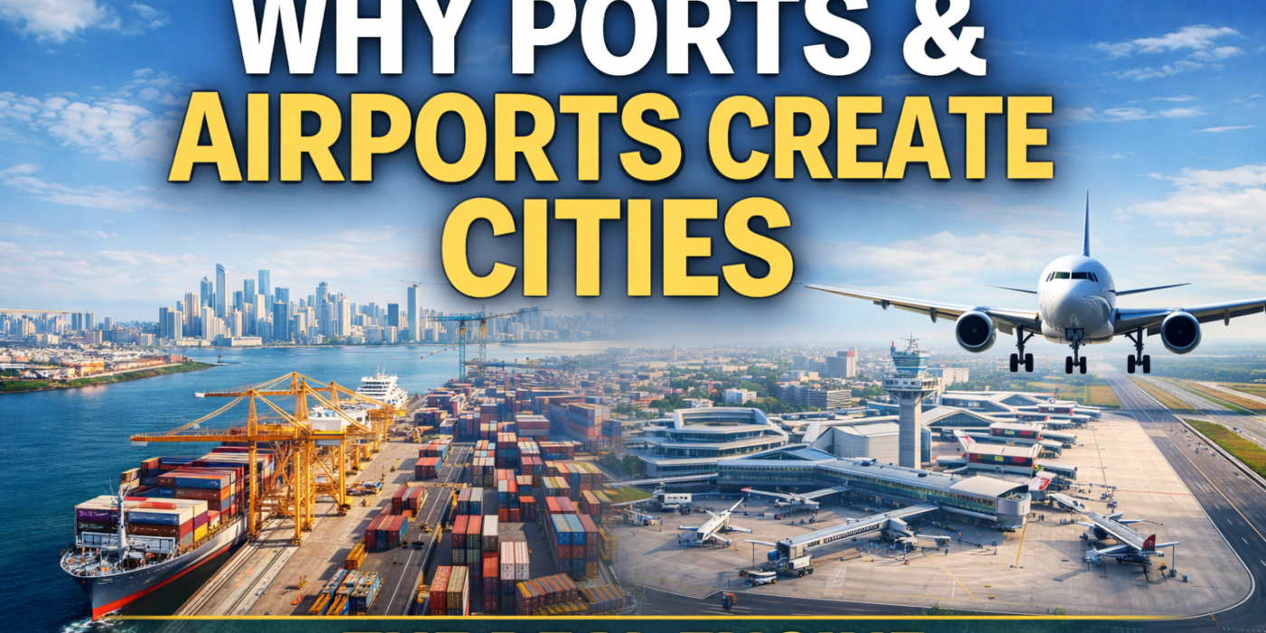
Why Ports and Airports Create Cities: The Real Engine of Urban Growth
CategoriesMumbai 3.0 tips & tricks

Why Ports and Airports Create Cities: The Real Engine of Urban Growth

Why Ports and Airports Create Cities: The Hidden Architecture of Urban Growth

Cities are not accidents.
They are outcomes.

Long before skylines appear, before housing demand rises, and before real estate prices move, cities are quietly shaped by two forces that rarely make headlines but always decide destiny:

Ports and Airports.

Throughout history, every major global city has shared one common trait —
access to movement.
Movement of goods.
Movement of people.
Movement of opportunity.

Where movement concentrates, cities emerge.


The Old Truth We Keep Rediscovering

Trade created civilisation.

From ancient ports to modern aviation hubs, economic history repeats a simple pattern:

Where goods move efficiently, people follow.
Where people follow, cities are born.

Ports and airports are not infrastructure projects.
They are economic magnets.

They compress distance, reduce friction, and turn geography into advantage.


Ports: The Original City Builders

Before roads, before railways, before highways — there were ports.

Some of the world’s greatest cities began as simple trading posts:

  • Mumbai

  • Singapore

  • Shanghai

  • Rotterdam

  • London

Ports enabled:

  • Trade

  • Employment

  • Industry

  • Migration

  • Wealth circulation

Once trade stabilised, cities layered themselves around ports:

  1. Warehousing and logistics

  2. Manufacturing and processing

  3. Worker housing

  4. Markets, institutions, governance

Ports didn’t just support cities.
They created them.


Airports: The Modern Accelerators

If ports were the builders of old cities, airports are the accelerators of modern ones.

Airports collapse time.

A city that is one flight away becomes:

  • A business destination

  • A logistics hub

  • A tourism centre

  • A services economy

Airports don’t just move passengers.
They move capital, talent, and decision-makers.

This is why every global city invests heavily in airport-led development:

  • Airport cities

  • Aerotropolises

  • Logistics and cargo hubs

  • Business districts within 30–60 minutes of runways

Airports turn peripheral land into strategic real estate.


Why Ports and Airports Always Create Real Estate Demand

The sequence is predictable:

  1. Infrastructure is built

  2. Economic activity increases

  3. Jobs are created

  4. Migration begins

  5. Housing demand rises

  6. Social infrastructure follows

  7. Cities formalise

Real estate demand is not the cause —
it is the consequence.

That’s why the smartest investors track:

  • Freight movement

  • Cargo capacity

  • Connectivity corridors

  • Policy focus on logistics and trade

Not advertisements.
Not hype.


India’s Shift: From City-Centric to Infrastructure-Led Growth

India is entering a phase where growth is no longer limited to a few metros.

The strategy is clear:

  • Decongest existing cities

  • Build new economic nodes

  • Anchor them around ports and airports

  • Let cities emerge organically

Projects like:

  • Port-led development corridors

  • New international airports

  • Dedicated freight corridors

  • Multimodal logistics parks

are not random investments.
They are city-making tools.


Mumbai as the Living Example

Mumbai itself is the proof.

The city didn’t grow because of real estate.
It grew because:

  • It was a port

  • It connected India to the world

  • Trade created opportunity

  • Opportunity attracted people

Today, Mumbai is repeating history — consciously.

Mumbai 3.0, Navi Mumbai Airport, port-led development in Konkan, and logistics corridors are all part of the same philosophy:

Let infrastructure lead. Cities will follow.


Why This Matters for the Next 20 Years

The next generation of Indian cities will not look like the old ones.

They will be:

  • Multi-nodal

  • Spread out

  • Infrastructure-first

  • Livability-driven

  • Logistics-backed

And at the centre of each will be either:

  • A port

  • An airport

  • Or both

This is not speculation.
It is urban economics.


The Investor’s Lens (Without the Hype)

For those who understand cycles, ports and airports signal one thing clearly:

Long-term inevitability.

They don’t promise overnight returns.
They promise structural growth.

Land around ports and airports appreciates not because of emotion —
but because demand becomes permanent.


The Bigger Insight

Cities don’t grow because people want to live there.

People live where:

  • They can work

  • They can trade

  • They can move

  • They can connect

Ports and airports make all four possible.

Everything else follows.


Final Thought

If you want to understand where cities will emerge tomorrow,
don’t look at skylines.

Look at:

  • Runways

  • Docks

  • Freight routes

  • Shipping lanes

That is where the future is being quietly built.

Cities are not imagined.
They are engineered by movement.

Mumbai 3.0 Land Investment
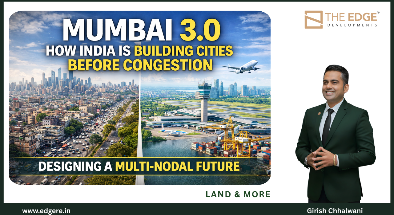
How India is building satellite cities before congestion — planned urban growth in MMR growth corridors
CategoriesMumbai 3.0 tips & tricks

How India Is Building Cities Before Congestion

Mumbai 3.0: How India Is Building Cities Before Congestion


Mumbai 3.0 is India’s first large-scale attempt to build cities before congestion sets in—by expanding economic activity, infrastructure, and housing outward in a planned, multi-nodal manner rather than forcing more density into an already saturated core.

This is not urban expansion by default.
It is urban expansion by design.


Why Mumbai Could Not Continue Growing the Old Way

Mumbai has always grown by absorbing pressure inward:

  • Taller buildings

  • Longer commutes

  • Heavier congestion

  • Rising costs

  • Declining quality of life

For decades, this worked because opportunity outweighed discomfort.

That balance no longer exists.

Today, Mumbai faces:

  • Extreme land scarcity

  • Infrastructure saturation

  • Unsustainable commute times

  • Environmental stress

  • Diminishing livability returns

At this stage, adding more people to the same geography doesn’t create growth—it creates friction.

Mumbai 3.0 is the response to that reality.


What Is Mumbai 3.0—In Practical Terms?

Direct answer:
Mumbai 3.0 is the strategic expansion of the Mumbai Metropolitan Region (MMR) into a multi-nodal urban system, where economic activity, housing, and infrastructure are deliberately distributed across new growth corridors instead of concentrated in the island city.

It is not one new city.
It is a system of cities.

Each node is designed to:

  • Host employment

  • Support housing

  • Enable mobility

  • Maintain livability

Before congestion forces reactive solutions.


The Most Important Shift: Infrastructure First, Density Later

This is where Mumbai 3.0 breaks from history.

Traditionally:

  1. People moved in

  2. Density increased

  3. Infrastructure struggled to catch up

Mumbai 3.0 reverses the sequence:

  1. Infrastructure is built first

  2. Connectivity is ensured

  3. Economic nodes are planned

  4. Housing follows demand

This sequencing alone determines whether a city thrives or chokes.


Why Multi-Nodal Cities Are the Future

Single-core cities fail at scale.

Multi-nodal cities succeed because they:

  • Shorten commute distances

  • Reduce pressure on one CBD

  • Spread economic opportunity

  • Improve resilience

  • Enable better quality of life

Mumbai 3.0 embraces this by developing multiple centres of gravity across MMR—each connected, but independently functional.

This is how global cities evolve when they reach maturity.


How Mumbai 3.0 Aligns With Human Behaviour

Urban planning fails when it ignores people.

Mumbai 3.0 works because it reflects how people now live and work:

  • Hybrid work is normal

  • Daily office commutes are less rigid

  • People value space, time, and air

  • Families are willing to move outward—if connectivity exists

When infrastructure supports lifestyle, migration becomes voluntary, not forced.

That’s how healthy cities grow.


Why This Is an Economic Strategy—Not a Real Estate One

It’s tempting to view Mumbai 3.0 through a property lens.
That would be a mistake.

At its core, Mumbai 3.0 is about:

  • Sustaining Mumbai’s role as India’s financial engine

  • Preventing productivity loss due to congestion

  • Creating new employment hubs

  • Attracting global capital and talent

  • Future-proofing urban growth

Real estate responds to these forces—it does not drive them.


What Makes Mumbai 3.0 Different From Past Expansions

Mumbai has expanded before.

What’s different now is alignment:

  • Policy intent

  • Infrastructure investment

  • Economic decentralisation

  • Lifestyle preference shifts

For the first time, expansion is anticipatory, not reactive.

That makes Mumbai 3.0 structurally stronger than previous growth cycles.


The Long-Term Impact on the Region

If executed consistently, Mumbai 3.0 will:

  • Reduce pressure on the island city

  • Improve average commute times

  • Create balanced urban ecosystems

  • Enable affordable, planned housing

  • Improve regional livability metrics

Most importantly, it ensures that Mumbai grows outward intelligently, instead of inward destructively.


Why Mumbai 3.0 Matters Beyond Mumbai

This is bigger than one city.

Mumbai 3.0 is a template:

  • For other Indian metros reaching saturation

  • For future infrastructure-led urbanisation

  • For building cities that scale without collapsing

India doesn’t just need bigger cities.
It needs better-designed ones.


Final Thought

Great cities fail when they stop planning ahead.

Mumbai 3.0 exists because Mumbai chose foresight over fatigue.

By building cities before congestion—not after—Mumbai is doing what mature global cities eventually must:

Reinvent growth, without losing relevance

Mumbai 3.0 Land Investment
Mumbai's land growth triangle — Karjat, Khopoli, and Panvel investment zones in the Mumbai 3.0 corridor
CategoriesMumbai 3.0 tips & tricks

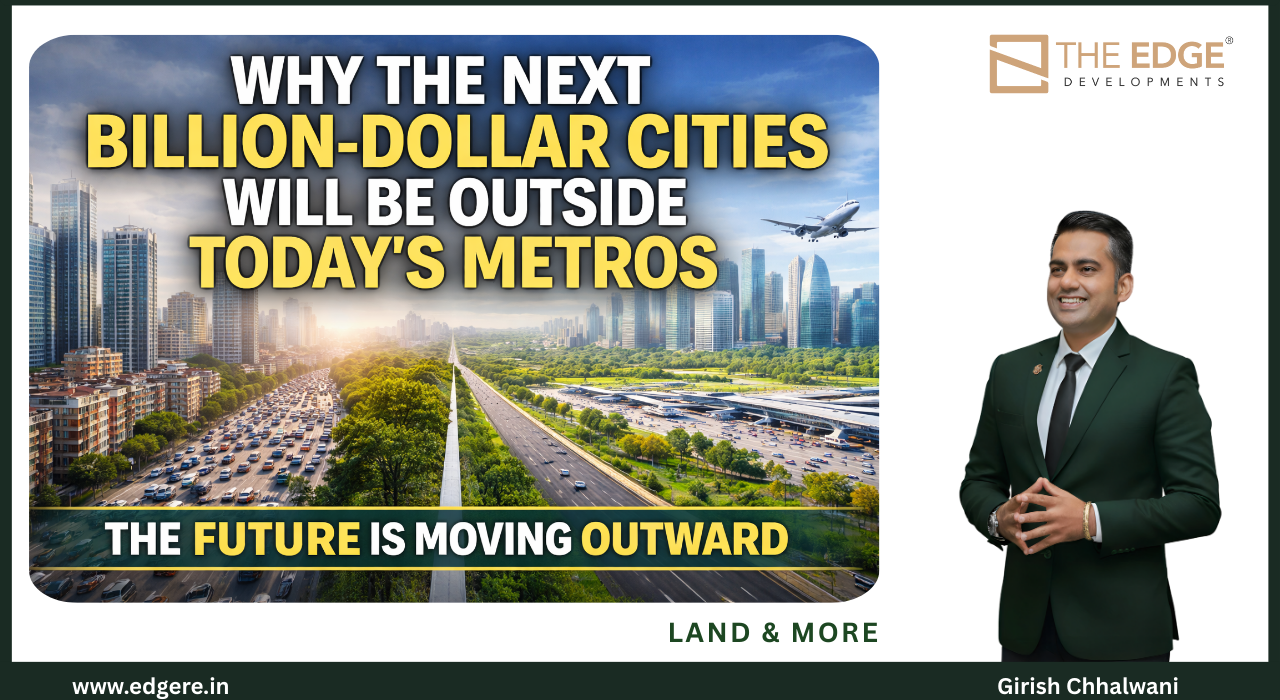
Why the Next Billion-Dollar Cities Will Be Outside Today’s Metros

Why the Next Billion-Dollar Cities Will Be Outside Today’s Metros

The next billion-dollar cities will emerge outside today’s metros because large cities have exhausted land, livability, and infrastructure capacity—while growth, capital, and people are now moving toward regions where land, connectivity, and planning still allow scale.

This shift is not cyclical.
It is structural.


The End of Metro-Centric Growth

For decades, economic growth followed a predictable pattern:

Bigger city = bigger opportunity.

That equation no longer holds.

Most major metros today face the same constraints:

  • Severe land scarcity

  • Infrastructure saturation

  • High cost of living

  • Declining quality of life

  • Environmental stress

  • Long commute times

At a certain point, cities stop compounding advantage and start taxing productivity.

That tipping point has arrived.


What Actually Creates a Billion-Dollar City?

Direct answer:
A billion-dollar city is created when four conditions align simultaneously:

  1. Scalable land availability

  2. Infrastructure-led connectivity

  3. Economic decentralisation

  4. Livability that attracts people voluntarily

Most existing metros no longer meet all four.

Emerging regions do.


Why Land Is the First Deciding Factor

Cities don’t fail because they lack ambition.
They fail because they lack land flexibility.

Land determines:

  • Density limits

  • Infrastructure layout

  • Cost of housing

  • Quality of urban life

  • Speed of expansion

Without land, growth becomes vertical, expensive, and fragile.

Every future billion-dollar city will be built where land:

  • Exists at scale

  • Can be planned before congestion

  • Allows infrastructure to arrive first

This alone disqualifies most mature metros.


Infrastructure Is Now Being Built Before Cities

This is the most important change of our time.

Historically:

  • Cities grew first

  • Infrastructure chased demand

Now:

  • Infrastructure is built first

  • Cities grow around it

Airports, ports, logistics corridors, highways, rail networks, and industrial zones are being deliberately placed outside existing city cores.

Why?
Because that’s where growth can be controlled, scalable, and sustainable.

This single sequencing shift explains why future cities won’t be born inside today’s metros.


Economic Gravity Is Moving, Quietly

Jobs no longer need one postcode.

With:

  • Distributed manufacturing

  • Logistics-led industries

  • Digital services

  • Hybrid work

  • Global supply chains

Economic gravity has become mobile.

When jobs decentralise, people follow.
When people follow, housing forms.
When housing forms, cities emerge.

This is how satellite regions quietly become economic capitals within a decade.


Human Behaviour Has Permanently Changed

This is the most underestimated driver.

People today prioritise:

  • Time over proximity

  • Space over status

  • Air quality over pin codes

  • Quality of life over density

They are willing to move outward, not upward.

Once this behavioural shift happens at scale, it doesn’t reverse easily.

Cities grow where people want to live—not where they are forced to.


Why Capital Is Following This Shift

Institutional capital doesn’t chase headlines.
It chases inevitability.

Investors are increasingly backing:

  • Infrastructure corridors

  • Peripheral growth zones

  • Airport-influence regions

  • Port-led economies

  • New industrial clusters

Because these regions offer:

  • Lower entry cost

  • Longer growth runways

  • Lower execution risk

  • Policy alignment

Capital always arrives before cities are obvious.


This Is Not an “Urban Sprawl” Story

It’s important to clarify what this is not.

This is not uncontrolled sprawl.
This is planned decentralisation.

Future cities will be:

  • Multi-nodal

  • Infrastructure-anchored

  • Lower density

  • Digitally connected

  • Environmentally conscious

They won’t replace metros.
They will relieve them.


What History Tells Us (Without Nostalgia)

Every era produces its own cities.

  • Industrial era → port cities

  • Manufacturing era → factory towns

  • Service era → metro hubs

The next era—logistics, mobility, sustainability, and digital services—demands new geography.

That geography does not exist inside old city limits.


What This Means Going Forward

Clear answer:
The next billion-dollar cities will be born:

  • Where infrastructure arrives before congestion

  • Where land allows planning at scale

  • Where people choose to live, not endure

  • Where economics and livability align

They will sit outside today’s metros—but remain deeply connected to them.


Final Thought

Cities don’t die.
They evolve.

But evolution doesn’t happen in the same place forever.

The future of urban growth belongs to regions that can still breathe, plan, and scale.

That is why the next billion-dollar cities will not rise inside today’s metros—
they will rise beyond them.


Mumbai 3.0 Land Investment
How infrastructure changes human behaviour and drives real estate growth near ports and airports in Mumbai MMR
CategoriesMumbai 3.0 tips & tricks

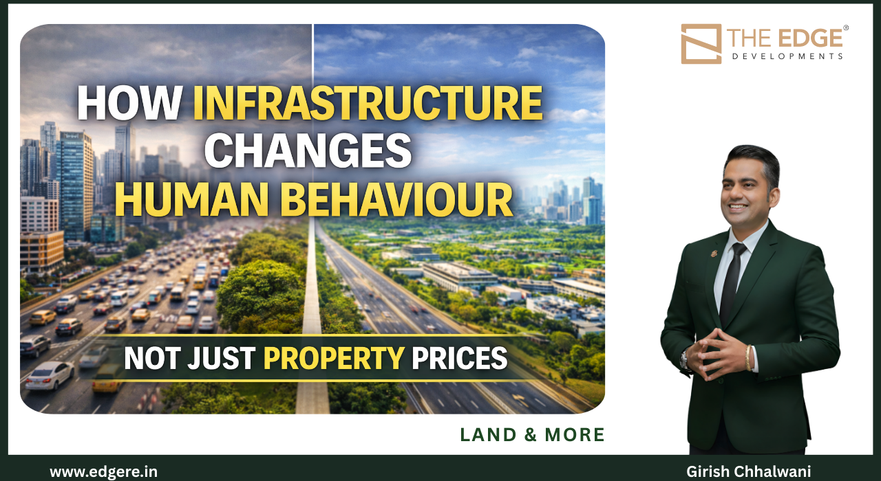
How Infrastructure Changes Human Behaviour

How Infrastructure Changes Human Behaviour (Not Just Property Prices)

Short answer:
Infrastructure changes human behaviour by altering how people value time, distance, opportunity, and quality of life. When movement becomes easier and faster, people don’t just travel differently — they live differently.

This is why infrastructure doesn’t merely shift real estate prices.
It reshapes choices.


The Biggest Urban Myth We Still Believe

There is a persistent myth in urban conversations:

Infrastructure only impacts property prices.

That is surface-level thinking.

In reality, infrastructure influences:

  • Where people choose to live

  • How far they are willing to commute

  • What they consider “close” or “far”

  • How they balance work, family, and health

  • What they value in a home and a city

Prices are the last signal, not the first.


Why Distance Is Psychological, Not Just Physical

Before infrastructure:

  • 20 km feels far

  • 60 minutes feels unbearable

After infrastructure:

  • 40 km feels manageable

  • 60 minutes becomes productive time

When roads, rail, airports, and digital connectivity improve, mental maps collapse.

People stop asking:
“Is it far?”

They start asking:
“Is it connected?”

That shift alone changes settlement patterns.


How Infrastructure Alters Daily Life Decisions

Direct answer:
Infrastructure reduces friction — and friction dictates behaviour.

When friction drops:

  • People accept longer physical distances

  • Employers decentralise offices

  • Families move outward

  • Lifestyle becomes a deciding factor

  • Cities spread horizontally, not vertically

This is why new corridors grow even before housing stock catches up.

Behaviour moves first.
Construction follows later.


Why People Don’t Leave Cities — They Leave Friction

This is a crucial distinction.

People are not abandoning cities because they dislike opportunity.
They are leaving because of:

  • Long commutes

  • Congestion

  • Noise

  • Pollution

  • Lack of personal time

When infrastructure creates alternative geographies that offer:

  • Connectivity

  • Employment access

  • Better living conditions

Migration becomes a choice, not an escape.


Infrastructure and the Rise of Hybrid Living

Infrastructure has enabled a new behaviour pattern:
hybrid living.

People now:

  • Work part-time from offices

  • Travel fewer days per week

  • Choose homes based on lifestyle, not proximity

  • Optimise for health, space, and time

This behaviour would collapse without:

  • Reliable transport

  • Digital infrastructure

  • Predictable commute times

Cities that support hybrid behaviour grow faster — and more sustainably.


Why Infrastructure Changes What People Value in Property

Once connectivity improves, priorities shift.

People start valuing:

  • Space over pin codes

  • Air quality over address prestige

  • Community over congestion

  • Time over location

This is why land, plotted developments, and low-density housing gain demand after infrastructure upgrades.

Not because they are cheaper —
but because they align with evolved behaviour.


The Domino Effect: From Infrastructure to Urban Form

The sequence is consistent across regions:

  1. Infrastructure improves

  2. Travel time reduces

  3. Behaviour adapts

  4. Migration patterns shift

  5. Housing demand follows

  6. Urban form changes

Urban sprawl happens when this is unplanned.
Urban growth happens when it is anticipated.


Why This Matters for City Planning

Cities fail when planners focus only on buildings.

Cities succeed when planners understand:

  • Behavioural response to infrastructure

  • How people actually use cities

  • What makes movement tolerable

  • How lifestyle choices evolve

Infrastructure is not about concrete and steel.
It is about human psychology at scale.


The Long-Term Implication

As infrastructure networks expand:

  • Cities become multi-nodal

  • Workplaces decentralise

  • Housing spreads outward

  • Congestion reduces — if planned

  • Livability improves

The cities that thrive will be the ones that:
design for behaviour, not just density.


Final Thought

Infrastructure doesn’t tell people where to live.

It gives them permission to choose.

And when people are free to choose, they don’t choose congestion —
they choose connection, space, and quality of life.

That is how cities truly change

Mumbai 3.0 Land Investment
Girish Chhalwani is a visionary real estate leader known for his ability to identify, evaluate, and unlock land value with precision and foresight. A Business Management graduate from the University of Mumbai, he has strengthened his expertise with a PGDFM, an MBA in Marketing, and global certifications in Change Management, Strategy Management (IBMI, Germany), Digital Marketing (Google), and Strategic Sales Negotiation (Mercuri Goldman). This blend of academic rigour and on-ground experience gives him a rare combination of strategic clarity, operational depth, and market intelligence. Before establishing THE EDGE in 2017, Girish held leadership roles across renowned real estate organisations including Lodha Group, Bhairaav Group, and Adhiraj Capital City. He has successfully built and led diverse business verticals of Channel & Distribution Sales—also played a key role in Lodha Group’s expansion into the South East Asia & GCC market. As the founder of THE EDGE Developments, Girish specialises in land identification, acquisition processes, regulatory navigation, pricing structure, and market positioning. His deep understanding of land development enables the creation of plotted communities, villa estates, and large-scale developments that are aligned with future demand and long-term value creation. From Sales Manager to Business Architect His journey began on the ground — as a multi-ticket sales closer at Lodha. He soon moved into cross-functional leadership roles, contributing to channel strategy, international sales, product planning, and marketing — even generating significant revenue from regions like Southeast Asia and Dubai. By 2015, Girish had internalized the DNA of real estate scaling — and chose to channel that insight into building his own Business & Corporate Advisory. He has led over 45+ project launches, partnered with and executed 250+ marketing campaigns — directly or strategically influencing over ₹8,500 Cr in sales as Professional & Entrepreneur. As he founded a specialized Development vertical within The Edge, Girish also drives plotted developments, joint ventures, and luxury villa communities — especially in emerging markets like Karjat, Pali, Khopoli, and Raigad (Mumbai 3.0). His expertise in regulatory navigation, land structuring, and market mapping helps unlock long-term value for landowners and investors.
CategoriesEco Living tips & tricks

Why Clean Air Will Decide Where Cities Grow

AQI Is the New Luxury: Why Clean Air Will Decide Where Cities Grow


Clean air has become a scarce resource in modern cities. As air quality deteriorates in dense urban cores, people, capital, and future cities are increasingly moving toward regions that offer lower AQI, open land, and healthier living conditions.

Air is no longer invisible.
It is now decisive.


When Pollution Becomes Personal

For decades, pollution was treated as an abstract statistic — something governments measured and citizens tolerated.

That era is over.

Today, people track AQI the way they once tracked stock prices.
They plan weekends around it.
They choose homes, schools, and even careers based on it.

When air affects:

  • Children’s health

  • Elderly longevity

  • Daily energy levels

  • Mental well-being

It stops being an environmental issue.
It becomes a lifestyle decision.


Why AQI Is Now a Migration Trigger

Direct answer:
People don’t leave cities because of ambition loss.
They leave because pollution erodes quality of life faster than opportunity compensates.

When:

  • Asthma increases

  • Allergies worsen

  • Outdoor life disappears

  • Medical costs rise

The city starts extracting a hidden tax.

Once that tax becomes visible, migration follows.


The Shift From Proximity to Well-Being

Earlier generations chose cities for:

  • Jobs

  • Connectivity

  • Status

Today’s choices look different:

  • Health over hierarchy

  • Space over skyline

  • Air over address

  • Time over traffic

This doesn’t mean cities will empty.
It means growth will redirect.

Cities that cannot improve AQI will lose residents to places that already have what money can’t buy: clean air.


Why Clean Air Regions Are Becoming the Next Growth Zones

Regions with:

  • Lower population density

  • Natural buffers (forests, hills, coastlines)

  • Horizontal growth potential

  • Planned infrastructure

have a structural advantage.

They attract:

  • Families

  • Remote professionals

  • Wellness-driven communities

  • Long-term residents

This is why towns once considered “too far” are now seen as future-ready.

Not because they are cheaper —
but because they are healthier.


AQI and the Rise of Low-Density Urbanism

High-density cities struggle to fix AQI quickly.
Low-density regions protect it naturally.

This is pushing demand toward:

  • Plotted developments

  • Villa communities

  • Green townships

  • Nature-integrated housing

People are no longer impressed by towers if they can’t open windows.

Urban growth is slowly shifting from vertical density to horizontal dignity.


Why This Changes Real Estate Economics Permanently

Answer-first insight:
AQI converts environmental quality into economic value.

Land in cleaner regions appreciates because:

  • Demand is lifestyle-driven

  • Migration is end-user led

  • Supply remains limited

  • Retention is higher

This creates stable, long-term demand, not speculative spikes.

Air quality doesn’t fluctuate daily the way markets do.
Its impact compounds over time.


Why Governments Will Follow This Shift

Policy always follows people.

As migration patterns change, governments are forced to:

  • Invest in cleaner growth zones

  • Improve regional infrastructure

  • Encourage decentralisation

  • Reduce pressure on polluted cores

AQI is quietly shaping urban policy — even when it’s not openly acknowledged.


What This Means for the Future of Cities

Cities of the future will compete on:

  • Air quality

  • Water quality

  • Open space

  • Health infrastructure

  • Environmental resilience

GDP alone won’t define success.
Livability metrics will.

The most successful cities won’t just offer jobs.
They will offer longer, healthier lives.


The Hard Truth

You can’t filter air forever.
You can’t mask pollution with branding.
You can’t compensate poor health with higher income.

Eventually, people choose what sustains them.

That choice is reshaping where cities grow.


Final Thought

In the next decade, wealth will follow wellness.

And wellness begins with breath.

AQI is no longer an environmental statistic.
It is the new luxury signal — and the strongest predictor of where tomorrow’s cities will rise

Mumbai 3.0 Land Investment
Prime land near Navi Mumbai Airport in the Mumbai 3.0 growth corridor — investment opportunity by THE EDGE Developments
CategoriesMumbai 3.0 tips & tricks

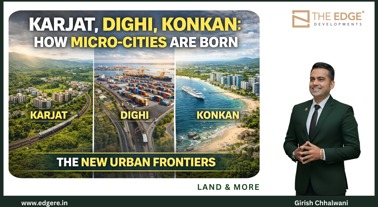
What Exactly Is a Micro-City

Karjat, Dighi, Konkan: How Micro-Cities Are Born


Micro-cities are born when infrastructure, land availability, livability, and economic purpose align at the right moment. Regions like Karjat, Dighi Port, and the Konkan exemplify how small geographies evolve into self-sustaining urban ecosystems—quietly, structurally, and irreversibly.

This is not rapid urbanisation.
It is measured emergence.


What Exactly Is a Micro-City?

Direct answer:
A micro-city is a compact, connected, and purpose-driven urban node that offers employment access, livability, and services without the congestion of a mega metro.

Micro-cities are not suburbs.
They are independent urban organisms.

They typically feature:

  • Proximity to major infrastructure (ports, airports, highways, rail)

  • Available land for planned growth

  • Lower density and better environmental quality

  • A clear economic role (logistics, tourism, education, wellness, industry)

  • Strong connectivity to larger metros


Why Micro-Cities Are Replacing the Old Growth Model

Large metros don’t fail—they overload.

As cities mature:

  • Infrastructure lags

  • Land fragments

  • Commutes lengthen

  • AQI worsens

  • Quality of life erodes

Micro-cities emerge as pressure valves—absorbing growth that the core can no longer handle sustainably.

This is not decentralisation by abandonment.
It is decentralisation by design.


Karjat: From Getaway to Growth Node

Karjat is a textbook example of micro-city formation.

Why Karjat fits the pattern:

  • Strong rail and road connectivity

  • Proximity to major employment zones

  • Abundant land for low-density planning

  • Natural buffers that protect AQI

  • Rising demand for permanent and hybrid living

Karjat didn’t grow because of marketing.
It grew because people chose it—for space, health, and balance.

That choice created:

  • Residential demand

  • Education and hospitality services

  • Local employment

  • Stable, end-user-led growth

This is how micro-cities solidify.


Dighi: When Ports Seed Urban Ecosystems

Ports don’t just move goods.
They anchor economies.

Dighi Port illustrates how industrial and logistics infrastructure triggers micro-city dynamics.

The sequence is predictable:

  1. Port operations expand

  2. Logistics and warehousing cluster

  3. Employment rises

  4. Support housing and services follow

  5. Nearby towns urbanise organically

This growth is not speculative.
It is employment-backed—the most resilient form of urban expansion.


Konkan: The Quiet Geography of the Future

The Konkan region represents a broader micro-city canvas.

Its advantages are structural:

  • Coastline-driven trade and tourism

  • Cleaner air and lower density

  • Expanding road and port connectivity

  • Cultural continuity and livability

  • Large land parcels suitable for planned development

Konkan won’t become one mega city.
It will evolve into a network of micro-cities—each with a distinct role, connected but not congested.

That is modern urban resilience.


How Micro-Cities Actually Form (The Real Sequence)

Answer-first clarity:
Micro-cities do not begin with housing.
They begin with function.

The typical sequence:

  1. Infrastructure arrives

  2. Economic activity anchors

  3. People migrate by choice

  4. Housing follows demand

  5. Social infrastructure matures

  6. Identity forms

When this sequence is respected, cities grow with stability.
When it’s reversed, cities struggle.


Why Micro-Cities Attract Long-Term Capital

Capital seeks predictability, not noise.

Micro-cities offer:

  • Lower entry costs

  • Longer growth runways

  • End-user demand

  • Policy alignment

  • Environmental resilience

They don’t promise overnight returns.
They promise durability.

This is why patient capital enters early—and stays.


What This Means for India’s Urban Future

India doesn’t need more megacities.
It needs many well-designed micro-cities.

Cities that:

  • Breathe

  • Scale

  • Adapt

  • Absorb growth without collapsing

Karjat, Dighi, and the Konkan belt are not exceptions.
They are prototypes.


Final Thought

Cities are no longer born in one dramatic moment.

They form quietly—through movement, choice, and alignment.

The future belongs to places that grow small before they grow big.

That is how micro-cities are born.
And that is how India’s next urban chapter will be written

Mumbai 3.0 Land Investment
How cities are really built — infrastructure-led urban growth in the Mumbai Metropolitan Region
CategoriesMumbai 3.0 tips & tricks

How Cities Are Really Built

How Cities Are Really Built: A 25-Year Urban Playbook

Short answer:
Cities are not built by buildings, policies, or real estate cycles. They are built over decades through the alignment of land, infrastructure, economics, human behaviour, and governance. When these forces move in the right sequence, cities thrive. When they don’t, cities struggle—no matter how tall they grow.

This is the long game of urban development.
And it always follows a pattern.


Why Most Conversations About Cities Are Incomplete

Urban discussions usually focus on:

  • Housing supply

  • Property prices

  • Infrastructure announcements

  • Smart city branding

These are visible layers.
But cities are shaped much earlier, at levels most people never see.

Cities are not reactions.
They are outcomes.

Understanding how they are really built requires looking at time, not trends.


The 5 Forces That Build Every City

Every successful city—historically and globally—emerges from the interaction of five forces.

1. Land (The Foundation)

Land is the first decision—and the most irreversible one.

Land determines:

  • Density

  • Mobility

  • Infrastructure feasibility

  • Cost of living

  • Environmental resilience

When land is planned early, cities scale gracefully.
When land is misused, cities are forced into congestion and correction.

Land is not an asset class.
It is the DNA of the city.


2. Infrastructure (The Skeleton)

Infrastructure gives land purpose.

Roads, rail, ports, airports, utilities, and digital networks define:

  • How people move

  • Where jobs locate

  • How far cities can stretch

  • Whether growth is inclusive or fractured

Crucially, cities succeed when infrastructure comes before density, not after.

This sequencing alone decides whether a city becomes efficient or exhausting.


3. Economics (The Engine)

Cities exist because of work.

Economic anchors—trade, manufacturing, services, logistics, finance, tourism—give cities relevance.

Without a clear economic role:

  • Housing becomes speculative

  • Infrastructure underutilised

  • Migration unstable

Cities that last are built around function, not aspiration.


4. Human Behaviour (The Catalyst)

This is the most underestimated force.

People decide cities’ futures through:

  • Where they choose to live

  • How far they’re willing to commute

  • What they value (time, air, space, health)

  • How they balance work and life

Infrastructure reshapes behaviour.
Behaviour reshapes cities.

When planning ignores human psychology, cities grow—but people leave.


5. Governance (The Glue)

Governance doesn’t create cities.
But poor governance can destroy them.

Cities need:

  • Predictable policy

  • Long-term vision

  • Institutional continuity

  • Discipline in land use and zoning

The best cities are boring administratively—and brilliant structurally.


The 25-Year City-Building Timeline

Cities don’t appear overnight.
They mature in phases.

Years 0–5: Land & Infrastructure Alignment

  • Land consolidation

  • Connectivity planning

  • Economic intent defined

Years 5–10: Economic Anchoring

  • Jobs arrive

  • Logistics and services cluster

  • Early migration begins

Years 10–15: Residential Formation

  • Housing demand stabilises

  • Social infrastructure develops

  • Communities form

Years 15–20: Urban Identity

  • Culture emerges

  • Institutions strengthen

  • City gains recognition

Years 20–25: Maturity or Stress

  • Well-planned cities scale

  • Poorly planned cities congest

Cities don’t fail suddenly.
They fail when early decisions compound badly.


Why Most Cities Get It Wrong

Common mistakes include:

  • Treating land as inventory, not foundation

  • Allowing density before infrastructure

  • Chasing real estate before employment

  • Ignoring environmental limits

  • Underestimating behaviour shifts

These mistakes don’t show immediately.
They surface 10–15 years later, when correction becomes painful.


Why the Next Cities Will Look Different

Future cities will not compete on:

  • Height

  • Population

  • Density

They will compete on:

  • Livability

  • Air quality

  • Mobility

  • Time efficiency

  • Economic resilience

They will be:

  • Multi-nodal

  • Lower density

  • Infrastructure-first

  • Regionally connected

  • Human-centred

Growth will spread, not stack.


The Investor and Planner’s Reality Check

Answer-first truth:
Cities reward patience, not speed.

The best city-linked opportunities:

  • Appear boring early

  • Mature slowly

  • Compound quietly

  • Endure structurally

Speculation chases headlines.
City-building follows fundamentals.


What This Means for the Next Generation

The cities that succeed over the next 25 years will be those that:

  • Respect land

  • Sequence infrastructure correctly

  • Anchor economies thoughtfully

  • Design for behaviour

  • Govern with restraint

Everything else is decoration.


Final Thought

Cities are not built by ambition alone.

They are built by:

  • Decisions made early

  • Sequencing done right

  • Patience held consistently

Skylines may define a moment.
But cities are shaped by decades of invisible discipline.

Those who understand this don’t just invest in cities.
They help create them.

Mumbai 3.0 Land Investment