
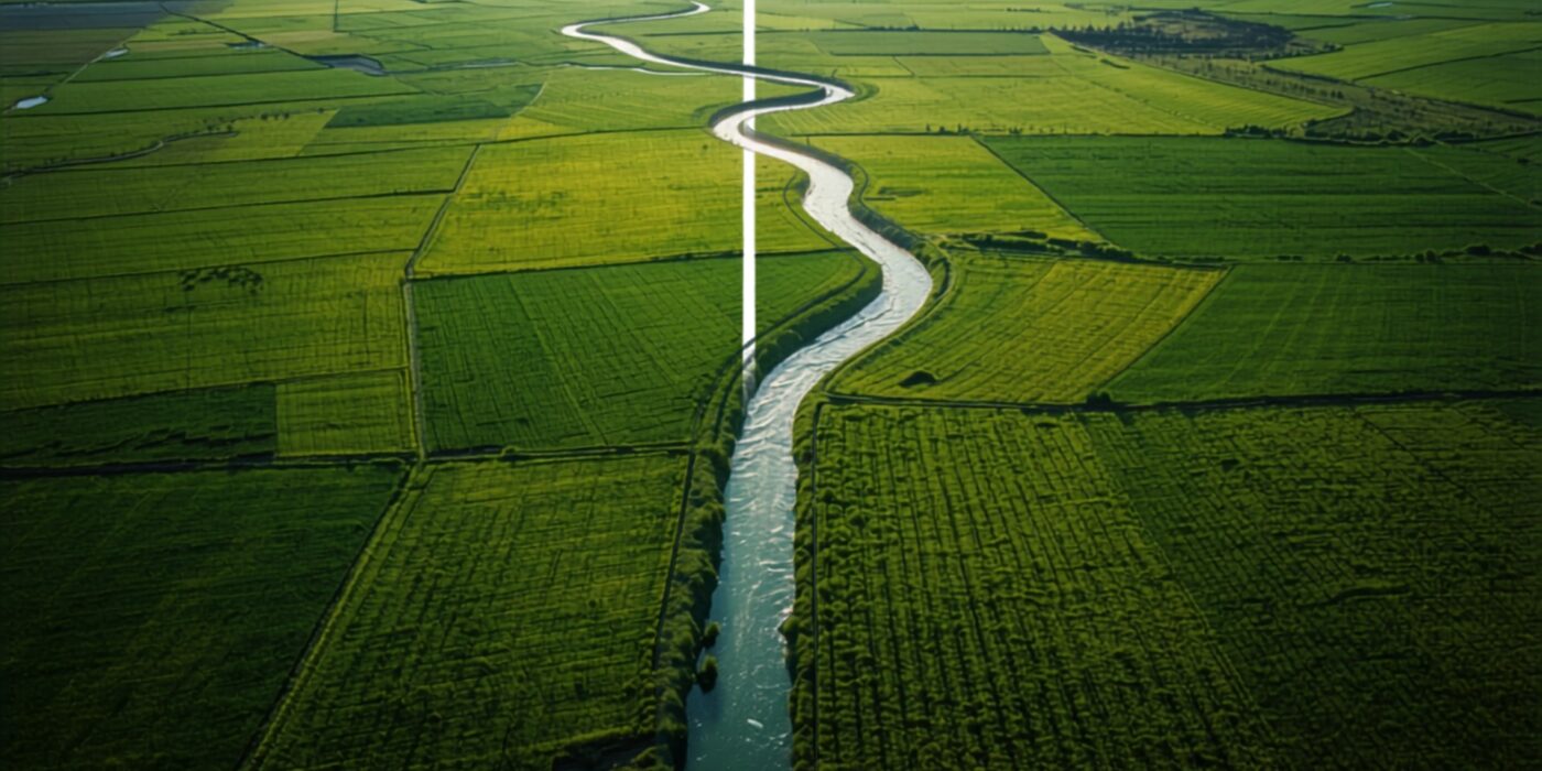
- The “Water 7/12” initiative, part of Revenue Minister Chandrashekhar Bawankule’s 2026 land record reforms, focuses on formally documenting the boundaries of water bodies — ponds, streams, canals, nullahs — within the standard land record system.
- Historically, many water body boundaries have been poorly documented or encroached upon over time, since they didn’t always receive the same rigorous record-keeping as agricultural or residential plots.
- Accurate water body boundary records matter directly to land buyers, since encroachment onto or near a water body can create legal, environmental, and flood-risk complications for adjacent land.
- Buyers evaluating land near ponds, streams, or canals should specifically check whether the water body’s boundary is accurately recorded and whether any part of the plot in question falls within a protected buffer zone.
Reading time: 6 min | Last updated: July 2026 | By Girish Chhalwani, Founder & CEO, THE EDGE Developments
The “Water 7/12” initiative under Revenue Minister Chandrashekhar Bawankule aims to formally document the boundaries of water bodies — ponds, streams, canals, and similar features — within Maharashtra’s standard land record system, addressing a long-standing gap where such boundaries were often poorly recorded or encroached upon. For land buyers, this matters more than it might initially appear: land adjacent to or near a poorly documented water body carries real legal and environmental risk, from encroachment disputes to flood-zone complications.
Why Water Body Boundaries Have Been a Documentation Gap
Unlike agricultural or residential plots, which have historically received detailed survey and record attention, water bodies — particularly smaller ponds, seasonal streams, and irrigation channels — have often lacked the same rigor in boundary documentation. Over time, this gap has allowed gradual encroachment in some areas, where adjacent landholders extend cultivation or construction into what was originally water body land, sometimes without formal challenge due to the absence of clear recorded boundaries.
What the Water 7/12 Initiative Aims to Fix
| Focus Area | Intended Outcome |
|---|---|
| Boundary documentation | Formal recording of water body extents alongside standard land records |
| Encroachment identification | Clearer baseline to identify and address unauthorized encroachment on water body land |
| Buffer zone clarity | Better-defined protected zones around water bodies, relevant to construction and land-use restrictions |
Why This Matters for Land Buyers
- Encroachment risk assessment. Land adjacent to a water body with unclear boundaries carries risk that part of what’s being sold may actually fall within (or too close to) the water body’s rightful extent, which can complicate future use or trigger regulatory action.
- Flood and environmental risk. Accurate water body records help clarify natural drainage patterns and flood-prone zones, relevant to both construction feasibility and insurance/risk considerations.
- Buffer zone construction restrictions. Many water bodies carry regulatory buffer zones restricting construction within a certain distance — buyers need to confirm a plot doesn’t fall within such a restricted zone.
“Land next to a pond or stream can look idyllic in a listing photo, and it’s exactly the kind of plot where boundary documentation has historically been weakest. If the water body’s own boundary was never properly recorded, you don’t actually know where ‘your’ land ends and the water body’s legal extent begins. Get this specifically checked before buying anything adjacent to water.” — Girish Chhalwani, Founder & CEO, THE EDGE Developments
What Buyers Should Check for Land Near Water Bodies
- Request confirmation of the water body’s recorded boundary relative to the plot being purchased, ideally cross-referenced against a current Bhunaksha map.
- Confirm whether any regulatory buffer zone applies, and whether the plot’s usable/constructible area accounts for it.
- Ask whether any part of the historical water body extent may have been informally encroached into the plot being sold.
- Where uncertainty exists, request written clarification from the local Talathi or relevant water resources authority before proceeding.
How Water Body Records Fit the Wider 2026 Survey Push
Water 7/12 isn’t a standalone initiative — it rides on the same digital survey infrastructure being rolled out for standard land measurement. Faster government survey turnaround means water body boundary confirmation can realistically be completed alongside a standard plot survey rather than requiring a separate, slower process. Similarly, farm access road documentation under the Baliraja Panand Raste Yojana reflects the same underlying philosophy: land features that were historically left undocumented — access paths, water boundaries — are now being folded into the same formal record-keeping standard applied to the plots themselves. For buyers, this means a growing share of the practical, on-ground features that actually determine a plot’s usability are becoming independently verifiable rather than something you had to take on faith during a site visit.
FAQ
What is the Water 7/12 initiative?
It’s a 2026 Revenue Department initiative under Minister Bawankule aimed at formally documenting water body boundaries — ponds, streams, canals — within Maharashtra’s standard land record system.
Why haven’t water body boundaries been well documented historically?
They typically received less rigorous survey attention than agricultural or residential plots, allowing boundary ambiguity and, in some cases, gradual encroachment over time.
Why does this matter for someone buying land near a pond or stream?
Poorly documented water body boundaries create risk that part of the plot may fall within or too close to the water body’s legal extent, potentially triggering regulatory or encroachment issues later.
What is a buffer zone around a water body?
It’s a regulatory restricted zone around certain water bodies where construction is limited or prohibited, relevant to any land near ponds, streams, or canals.
How can I check if my plot falls within a water body buffer zone?
Cross-reference the plot against a current Bhunaksha map and, where uncertain, seek written clarification from the local Talathi or water resources authority.
Citations & Sources
- Maharashtra Revenue & Forest Department, 2026 policy announcements
- Office of the Revenue Minister, Government of Maharashtra
Related Reading
- Start here (pillar): Maharashtra Land Records Portals: The Complete Directory of Government Websites
- Bhunaksha Maharashtra: Verifying Land Boundaries & Survey Maps via Government GIS
- Common Land Disputes in Maharashtra: Patterns, Causes & How to Avoid Them
- First-Time Land Buyer’s Checklist: 10 Due Diligence Steps
- Case study: Infrastructure-Triggered Land Appreciation: Karjat Corridor Case Study
- MRSAC Zoning Maps: Using Maharashtra’s Remote Sensing Data for Land Use Verification
- Baliraja Panand Raste Yojana: Bawankule’s 2026 Push for Farm Access Road Records
- Talk to us: Contact THE EDGE
Buying Near Water? We Check the Boundary Twice
THE EDGE Developments verifies water body boundaries and buffer zone compliance on every waterside plot we recommend.
connect@theedgedevelopments.com | Phone: +91-9664662938